Rezoan Pranto

Hi, I'm Mohammad Rezoan Bin Hafiz Pranto

Prospective Ph.D. Student | Researcher in Irrigation & Water Management Division, BRRI, Bangladesh| Expert in GIS & Remote Sensing

Mohammad Rezoan Bin Hafiz Pranto is a prospective Ph.D. student whose research interests center on GIS and remote sensing in agriculture, soil and water systems, irrigation and drainage, and climate-resilient water management. He is currently serving as a Scientific Officer in the Irrigation and Water Management Division at the Bangladesh Rice Research Institute (BRRI), where he has been engaged in developing efficient water-use technologies, assessing cropping patterns to enhance production in irrigated environments, and applying engineering principles to sustainable crop production. His ongoing projects include optimizing tidal water resources for irrigation in the Barishal region and evaluating transplanting time and water management effects on rice yield and productivity.

Pranto completed a Master’s in Environmental Engineering from Suzhou University of Science and Technology, China, a Master of Science in Sustainable Agriculture and Food Security from Bangladesh Agricultural University, and a Bachelor of Science in Agricultural Engineering from the same institution. His broader research aims to integrate GIS applications, and field-based water management practices to develop adaptive solutions for sustainable farming systems under climate change.

What's New

Lab Work at Suzhou University of Science and Technology

Graduation Ceremony of MOFCOM Scholarship Students at China

Receiving the Training Completion Certificate from the Secretary of Bangladesh Planning Commission

Sharing Insights on BRRI dhan109, the Latest Submergence-Tolerant Rice Variety, During My Interview with Shomoy TV

Experimental Trial of Greenhouse Gas Emission from Paddy Fields

Data Collection from the Research Field

Delivering Speech about Integrated Water Resource Management

Data Analysis and Visualization with Python

Correlation heatmap prepared using python

Relationship Between Total Bill and Tip Visualized Using a Jointplot in Python

Data Visualization using ArcMap

Freshwater and Saline Water Zone Map Prepared Using ArcMap

Normalized Difference Salinity Index Prepared by ArcMap

Data Visualization using Google Earth Engine

Land Cover Classes of Barishal District Prepared Using Google Earth Engine

MNDWI Time-Series Chart of Madaripur District

NDVI Time-Series Chart of Patuakhali District

Highlights
Static overlay

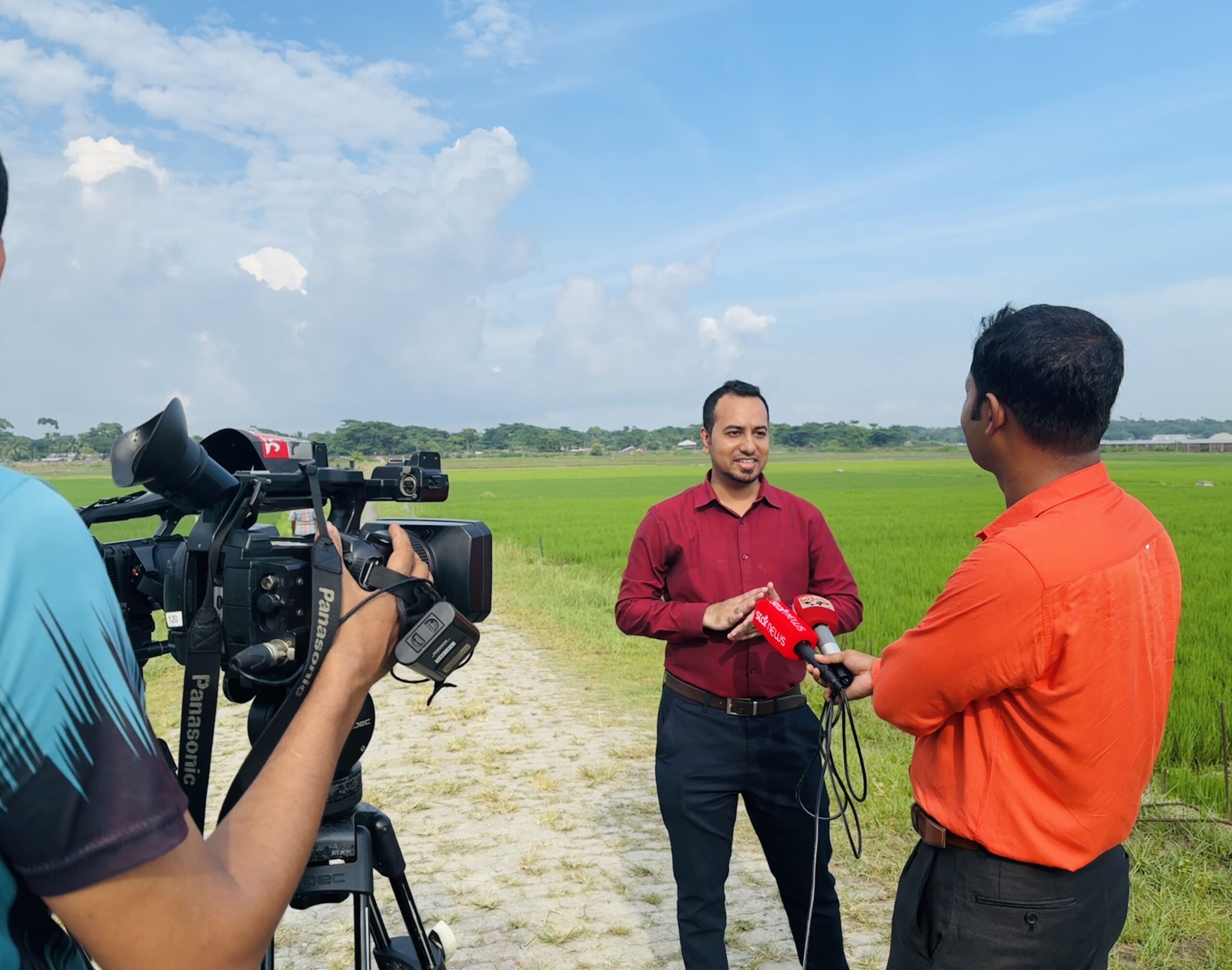
Delivering Interviews on Leading Bangladeshi News Channels

Static overlay

Engagement with World Bank Delegates at Bangladesh Rice Research Institute

Static overlay

Interactive Session on GIS and Remote Sensing for Chinese Students

Static overlay

Farmer Awareness Session on Water-Efficient Rice Cultivation

Static overlay

Hands-On Training on Mechanized Rice Farming

Professional Affiliation
Institution of Engineers, Bangladesh

Membership No.: M-44735)

Krishibid Institution of Bangladesh

Membership No.: 05-16-29621

Feel Free to Contact Me

Mohammad Rezoan Bin Hafiz Pranto

Bangladesh Rice Research Institute, Gazipur, Bangladesh, 1701

Cell Phone: